Google Maps update: real-time speed cameras and built-in speedometer
 Victor Alós Yus @sepelaci
24 June 2019
3 min.
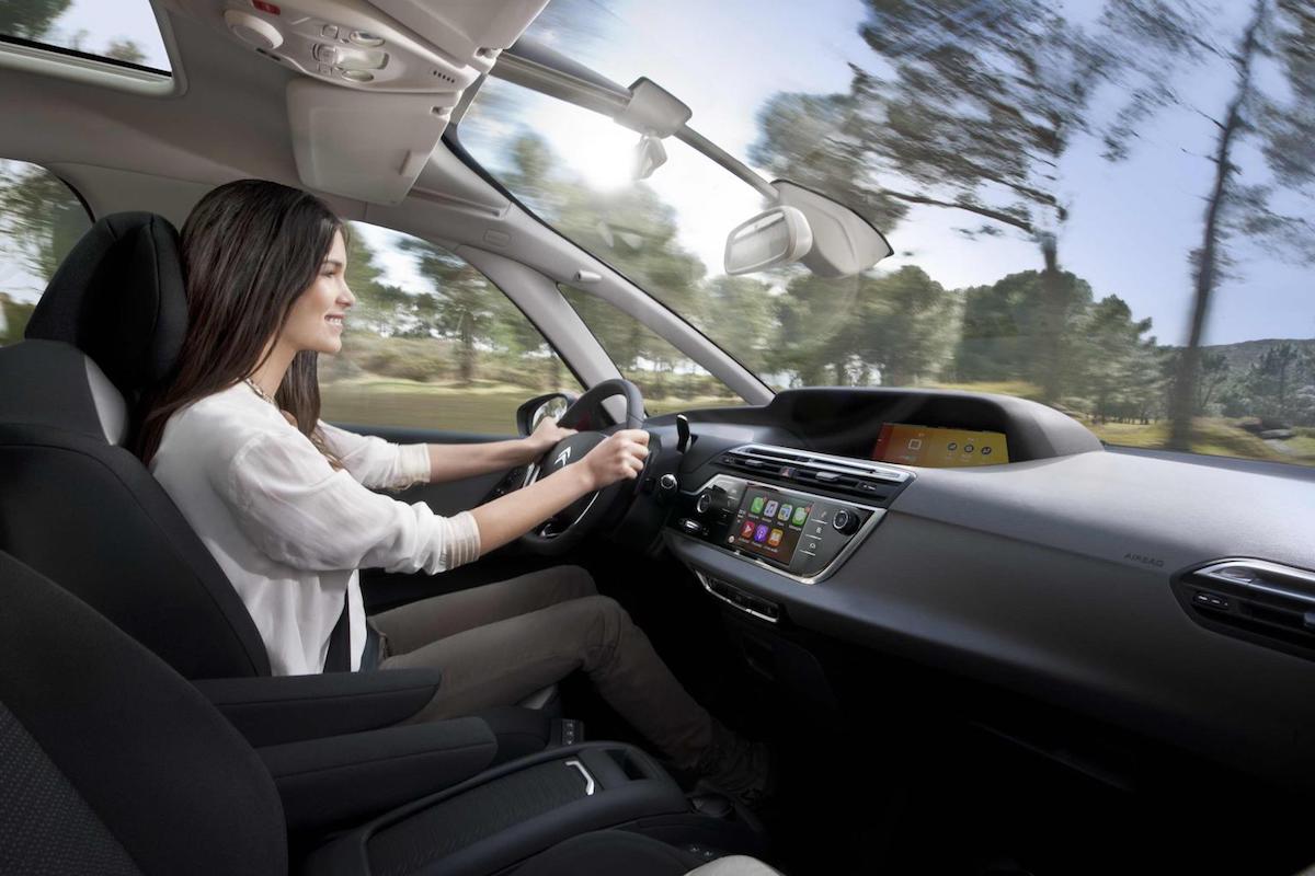
Google Maps has updated the app with new features that make driving with it simpler and more practical
Google Maps is one of the most widely used apps. Thanks to it, we can plot a route to drive and reach our destination without going around in circles and in the most efficient way. But, in addition, the latest Google Maps updates have added new features that may come in very handy and that will be ready for users very soon. The two most important new features of Google Maps are the speedometer and a speed camera alert.
The speedometer works in such a way that we can see the speed at which we are travelling from the device itself or the infotainment system screen. It is an update that may take a while to arrive, but it can be accessed if you are part of the group that uses the Google Maps Beta version. With this feature, you will not only be able to see the route you have to take, but also how fast we are going.
How to activate the Google Maps speedometer
The Google Maps speedometer can be activated through the menu located in the upper left-hand part of the app. Once in the drop-down menu, look for Driving options and enable the Speedometer option. Once activated, this feature will appear on the screen and we will be able to know how fast we are going through Google Maps.
Google Maps with speed camera alerts
Bear in mind that the Spanish Directorate-General for Traffic (DGT) publishes every year a list of all the fixed speed cameras on the roads. You can also find out where the mobile speed cameras are located, although some of them are deployed without prior notice and may not appear in the listings. Google Maps uses that public list of speed cameras, so it is completely legal and carries no risk to our wallet.
The DGT speed cameras are displayed whenever we select a route, that is, not all the cameras deployed on the road network are shown by default. Only the cameras located along the programmed route will appear. Both fixed and mobile speed cameras will be shown. The yellow colour represents fixed speed cameras, while mobile speed cameras are shown in blue. When zooming in, more cameras located in that area may appear.
Once driving starts, the cameras will appear as the vehicle approaches them and the app will warn you with a voice alert. This can be removed, although the cameras will still appear on the screen as we get closer to them. The app will also allow users to alert others to incidents on the road, such as accidents or roadworks. However, you should not report breath-alcohol checkpoints or police checkpoints, which are set up there for a good reason, and we could later end up regretting an accident or some other undesirable consequence.
Google Maps is refining its features and now also alerts you if the vehicle you are in is not following the optimal route or chooses a less efficient one, so it can be used as an alert if we are riding in a taxi or a private-hire car.


 The seven finalists for the 2027 European Car of the Year (COTY) are exclusively electric
 Peugeot E-208 GTi: a battery-powered toy that revives the spirit of the 1980s sports cars
 New Lexus ES: luxury grows and goes electric
Deja un comentario